
Maps and terrain
Maps are more important in some TTRPGs than in others. However, they can be a great help especially in battles where distances, movement speeds, cover, and low and high ground play a significant role. In roleplay-heavy campaigns, it can also be beneficial to use a map to illustrate round-based situations and combats.
Maps and terrain can get quite expensive, especially if the adventure group visits many different locations, but it doesn’t have to be that way. Many maps can be printed at home or in a print shop, or you can create your own grid on paper to visualize the distances and locations of walls, doors, and other objects.
If you prefer a fancier and more detailed approach, you can invest in tabletop terrain or craft your own structures. The Subreddit r/PoorHammer is a good place to get inspiration from the community. Here is a nice example of how to create impressive results from “trash” with a little practice in tabletop art:
Personal tip from Caro: When we started our campaign, we played on an A3 paper with a grid and marked obstacles and walls with a pen. That was completely sufficient for playing, and the rest was taken over by our imagination. Nowadays, our game master uses printed, intricately designed maps from various artists who make these available online, and the blank grids are more often used for random locations.
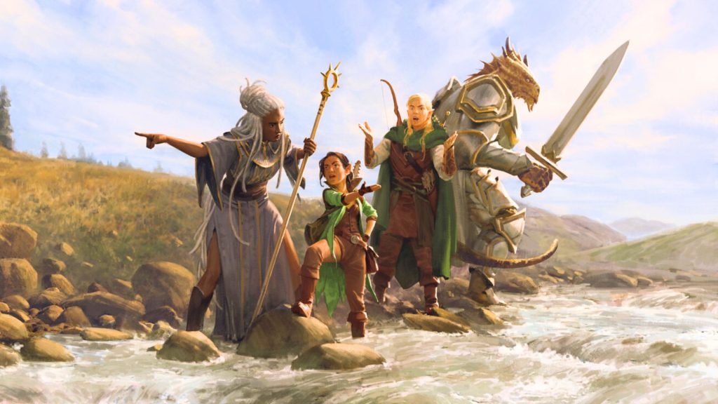
For these cases, it is nice to get an image of the place in another way. Even if it is not visible through the map, environments from Pinterest or other sites can be visually illustrated.

Your opinion is important to us!
Do you like the article? Then let us know!